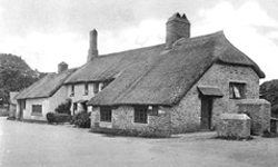
STRETE is located in an Area of Outstanding Natural Beauty (AONB). The first documentary mention of the village of Strete was as Streta in 1194. In 1244 it was known as Strete. The name derives from Old English term Straet, meaning a road.
The village lies on an ancient trackway. A map of 1765 records the village name as Street which is how it remained until the late 19th century, when it was altered to it's present day title of Strete.
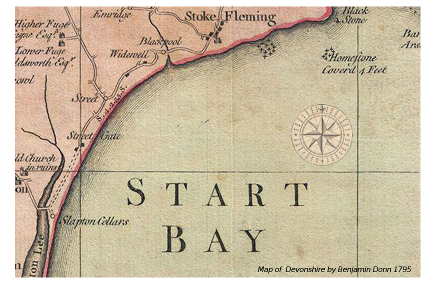 Click the image to view a complete version of the Benjamin Donn 1795 map of Devonshire.
Set on the cliffs overlooking Start Bay Strete it is approximately 106m (348ft) above sea level. Below the cliffs is Strete Gate Beach which forms part of a long beach of sand and shingle stretching north from Start point towards Strete. 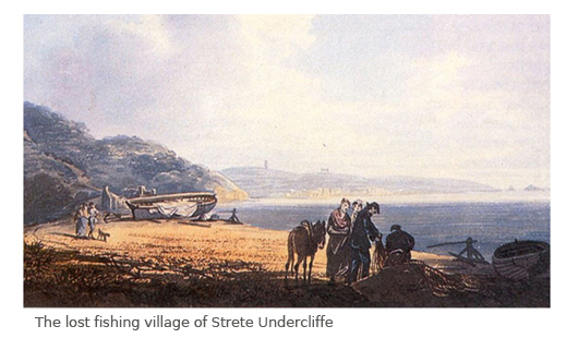 On this beach once stood the lost fishing village of Strete Undercliffe. Strete Undercliffe was lost to the sea towards the end of the 18th century.
As part of the preparation for the invasion of German occupied France, it was important that all troops undergo a series of training schedules and full-scale exercises resembling those of the five landing beaches of Normandy as possible. The flat coast and road was not dissimilar from the beach and cliffs code named Utah in Normandy. A notice of requisition to the Devon County Council under the Defence Regulations Act specifying that a certain area of the South Hams was to be evacuated of civilians and livestock by the 20th December, 1943. The area inclued villages the of Torcross, Stokenham, Chillington, Sherford, East Allington, Blackawton, Strete and Slapton.
The requisitioned land covered the coast from just north of Strete to just south of Torcross. This gave six weeks notice for the moving of about 750 families, comprising about 3,000 people, 180 farms, and shops, etc. Some 30,000 acres cleared in these weeks so that troops could move in and start setting up camps.
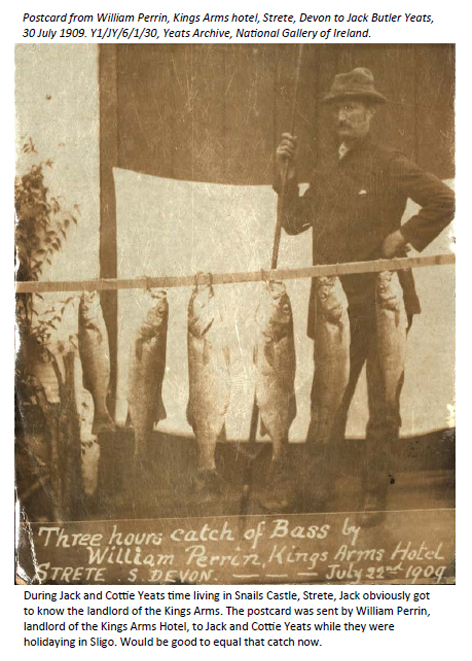
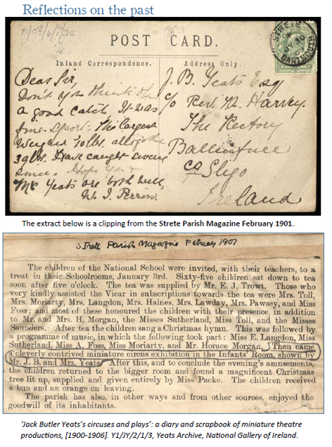
Click The images below for more imformation.
